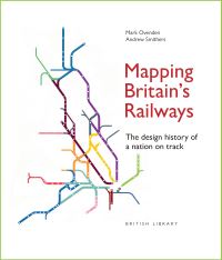
Description
Railway diagrams have been at the forefront of mapping Britain’s railways since they first began operating 200 years ago – a journey from A to B has always needed to be easily and quickly understood.
This book reveals the surprising history of how British railway cartographers have led the way in designing clear passenger information, even predating the iconic London Underground diagram, which itself has expanded to encompass overground routes around the capital and beyond.
Written and designed by bestselling author Mark Ovenden and National Rail mapmaker Andrew Smithers, this intriguing and lively history is illustrated with over 300 colourful maps from around the country, showing the evolution of schematics from simple line drawings to complex diagrams that incorporate ever more information.